Super-resolution training data is usually manufactured by downsampling high-resolution images, which is convenient and is also the field's central limitation.
The standard approach is to take sharp images, downsample them with a known kernel, and train a model to invert that. It works well and produces models that excel at reversing exactly that kernel. Real low-resolution images are degraded by a messier combination of sensor noise, optical blur, compression and unknown resampling, and a model trained on clean synthetic downsampling generalises to them poorly.
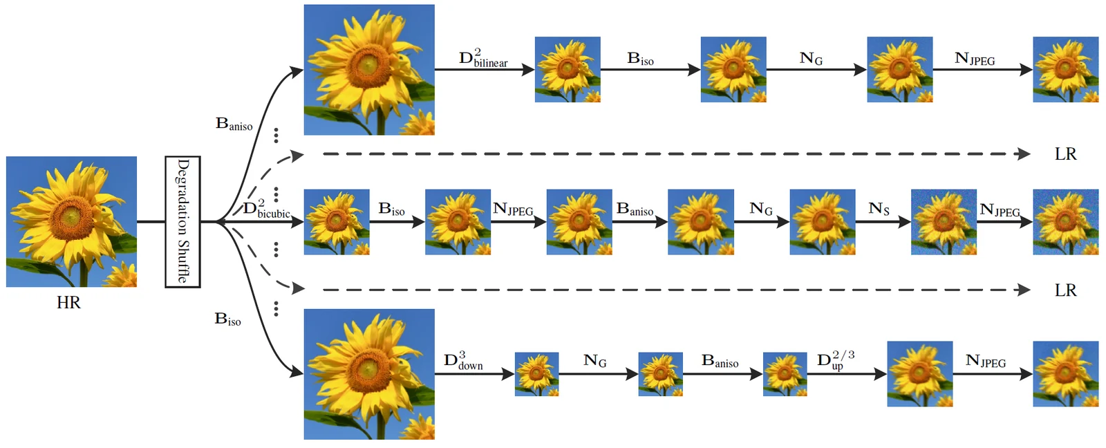
So the properties to look for are: genuinely high-resolution and sharp source images, because the ceiling of what you can learn is set by the best images in the set; and either real degraded-sharp pairs or a documented realistic degradation pipeline. The sets below were found by searching dataset documentation for super resolution and high-resolution imagery, not chosen for sharpness, so check source quality yourself — it is the part you cannot fix later. Only the satellite set ships paired low- and high-resolution images (its documentation does not say how the low-resolution side was made); for the rest you will be manufacturing the low-resolution side.
| Dataset | Modality | Size | Licence | Best for |
|---|---|---|---|---|
| 4x Satellite Image Super-Resolution | Image | 720 images | Apache 2.0 | Super-resolution models for satellite imagery |
| Aesthetic 4K | Image | 2,700 images | MIT | Ultra-high-resolution image generation |
| Pseudo Camera 10K | Image | 10,000 images | Unclear — see below | Vision models with automatic text annotations |
| The Wildfire Dataset | Image | 2,700 images | CC BY 4.0 | Early forest fire detection |
| Open Sprayer Images | Image | 6,700 images | CC0 | Automatic weed detection |
| Cityscapes Dataset | Image | 5,000 images | Research only | Urban segmentation models |
4x Satellite Image Super-Resolution
- Size
- 720 GeoTIFF image pairs, 2m and 0.5m resolutions per pixel
- Licence
- Apache 2.0
720 geographically aligned GeoTIFF image pairs at 2 metre and 0.5 metre per pixel, giving matched low and high resolution views for training four-times super-resolution models. Small, and its documentation does not say whether the 2 m images were captured separately or made by downsampling the 0.5 m tiles.
Training super-resolution models for satellite imagery, testing CNN, GAN or Transformer upscaling, and developing mapping and geospatial tools.
Source: innovatiana.com
Aesthetic 4K
- Size
- Approximately 2,700 images, 10 GB, parquet format
- Licence
- MIT
About 2,700 curated ultra-high-resolution images totalling 10 GB in Parquet, with captions generated by GPT-4o and images manually filtered to remove blurred or out-of-focus shots. Quality over quantity for 4K generation work.
Training ultra-high-resolution image generation, testing detailed aesthetic image synthesis, and improving the quality and consistency of automatic captions.
Source: innovatiana.com
Pseudo Camera 10K
- Size
- 10,000 high-resolution images, automatic caption annotations, JPEG/PNG formats
- Licence
- Creative Commons (exact type to be specified)
10,000 high-resolution photographs from professional photographers in JPEG and PNG, with captions generated automatically by CogVLM, including many portraits and group scenes. The exact Creative Commons variant is not specified.
Training vision models with automatic text annotations, improving description of complex images including portraits and groups, and studying effects of imperfect annotations.
Source: innovatiana.com
The Wildfire Dataset
- Size
- Approximately 2,700 high resolution RGB images (average 4057×3155 px), JPEG/PNG formats
- Licence
- Attribution 4.0 International (CC BY 4.0)
About 2,700 very high resolution RGB images averaging 4057x3155 pixels, gathered from public sources and covering both aerial and ground-level views of fire and non-fire scenes. Resolution rather than volume is its distinguishing feature.
Training early forest fire detection, developing monitoring from aerial and terrestrial imagery, and testing multi-task approaches that reduce false alarms.
Source: innovatiana.com
Open Sprayer Images
- Size
- Approximately 6,700 images in JPG/PNG format, high resolution photos, plants and terrain category
- Licence
- CC0: Public Domain
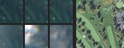
Nearly 6,700 high-resolution JPG and PNG images of broad-leaved docks and bare land, split into plant and terrain categories, collected to train weed detection for low-cost autonomous spraying drones.
Training automatic weed detection, developing low-cost autonomous agricultural drones, and improving precision of targeted treatments.
Source: innovatiana.com
Cityscapes Dataset
- Size
- Approximately 5,000 high-resolution images in PNG format, annotations in JSON
- Licence
- Usable for academic research purposes under a specific license (Cityscapes Research License)
Around 5,000 high-resolution PNG images of annotated urban street scenes with JSON annotations, the reference set for semantic segmentation in driving contexts. Use is governed by the Cityscapes Research License and restricted to non-commercial use (academic research, teaching, publications, personal experimentation).
Training urban segmentation models, street scene analysis for autonomous vehicle perception, and recognising objects and behaviours in traffic.
Source: innovatiana.com
How this list was put together
Found by searching Dataset Finder for datasets whose documentation describes the task, then checked by hand. A keyword match is not a fit — the first pass picked up a coral survey for the depth-estimation list because it was recorded below fifty metres — so every entry was read against what this page covers, and the ones that matched a word without matching the task were removed.
Sizes and licences come from each dataset's own documentation, vague wording included. Where we found a re-upload or catalogue card stating a licence that the original release contradicts — a CC0 tag on Flickr photographs, MIT on data whose terms require a signed agreement — the entry gives the original terms and says so. The comparison table abbreviates licences; hover a cell for the full wording.